
Hele Oʻahu
An offline iPhone app for walks on Oʻahu.
193 walks: 101 easy, 60 moderate, 32 hard.
Works with no cell signal
Maps, elevation and difficulty are all inside the app.
Highest points
- Mount Kaʻala trail1,219 m
- Puʻu Kalena Trail1,050 m
- Piliwale Ridge Trail953 m
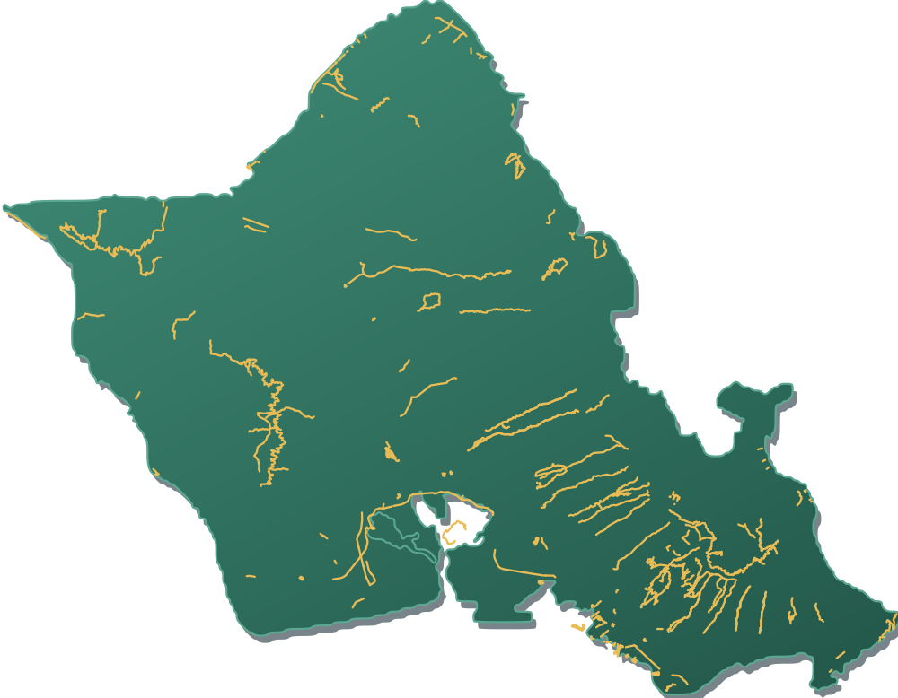
Trail data: Nā Ala Hele (State of Hawaiʻi DLNR), © OpenStreetMap contributors (ODbL). Elevation: USGS 3DEP.
Features, by number of walks
Each walk is marked with what you can find along it. Each bar is out of all 193 walks.
- Ocean views83
- Family friendly73
- Summit58
- Sunset spot49
- Sunrise spot41
- Marked viewpoint40
- Wildlife & nature34
- Paved & level30
- Active hunting areaSafety notice26
- Ridge line25
- Waterfall22
- Historic site21
- Stair climb18
- Coastal walk15
- Beach access13
- Pillbox or bunker10
- Plane spotting7
- Cave or lava tube3
Hawaiian names
Some walks carry a Hawaiian name as well as an English one.
- Lēʻahi
- Diamond Head Summit Trail
- Puʻuloa
- Pearl Harbor Bike Path
- Puʻu ʻŌhiʻa
- Tantalus Arboretum Trail
- Kohelepelepe
- Koko Crater Tramway